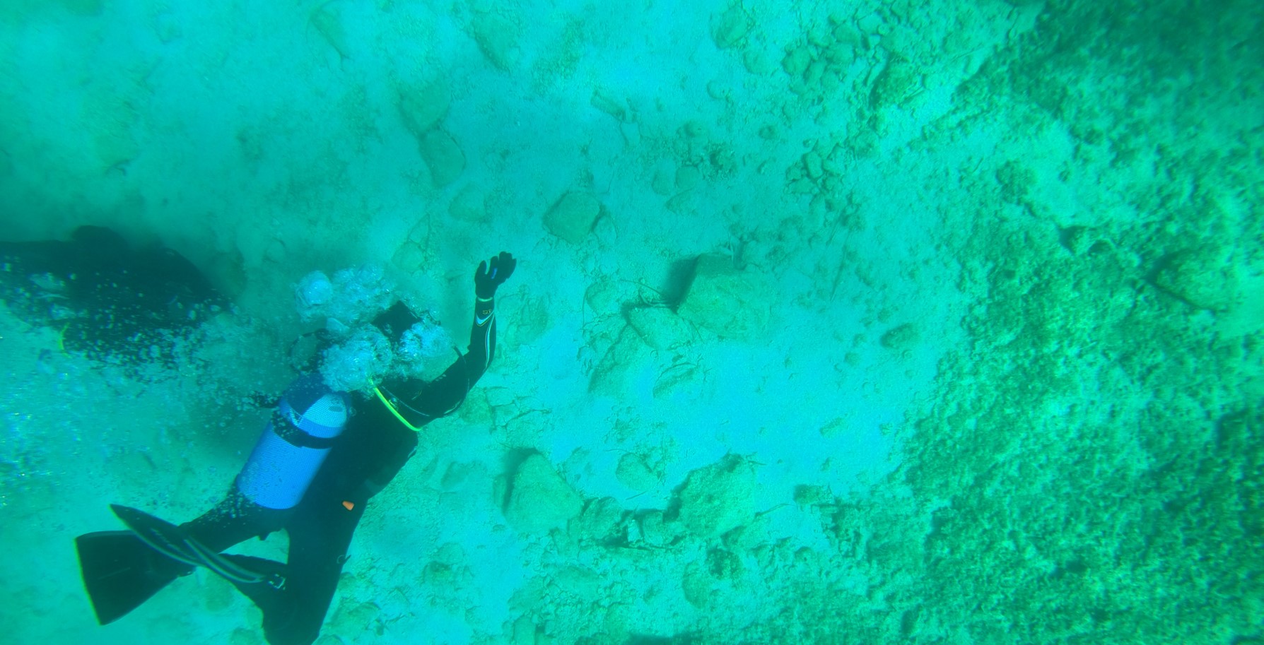
Our work at Agios Petros in 2021 was carried out in early October, it lasted for a week and involved four different groups consisting of archaeologists, earth scientists and divers.
The University of Thessaloniki group had 5 members (archaeologists-geologists/divers), The Ministry of Culture underwater team 2 members (archaeologists/divers), the Topography Group had 3 members (topographers/divers). The Diving Center at Steni Vala, which was the supporting group, provided 3 boats, with their captains, to ferry people and diving equipment to A. Petros. Additionally, a number of divers stationed at Steni Vala and associated with the Diving Center were helpful when required.
It was clear from the beginning that this was not an ordinary archaeological fieldwork project because of the logistics involved and the demand for coordination at every step of the way. Not only were there a large number of participants (see the photo of the diner in the last day), but also it required significant coordination of the various tasks to ensure safe sea and diving conditions. We also faced the uncertainty of the weather at this time of year and were fortunate to have mostly favorable weather conditions and calm waters which allowed us to get through the usually rough crossing from Alonnisos to Kyra-Panagia.
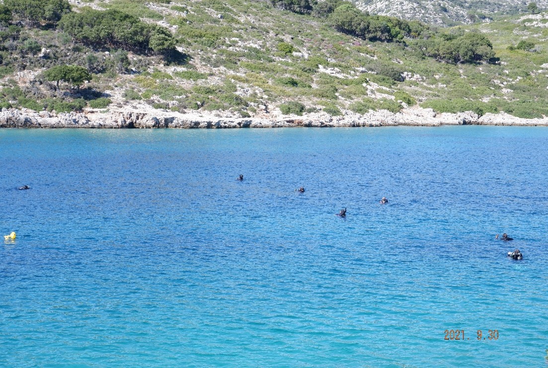
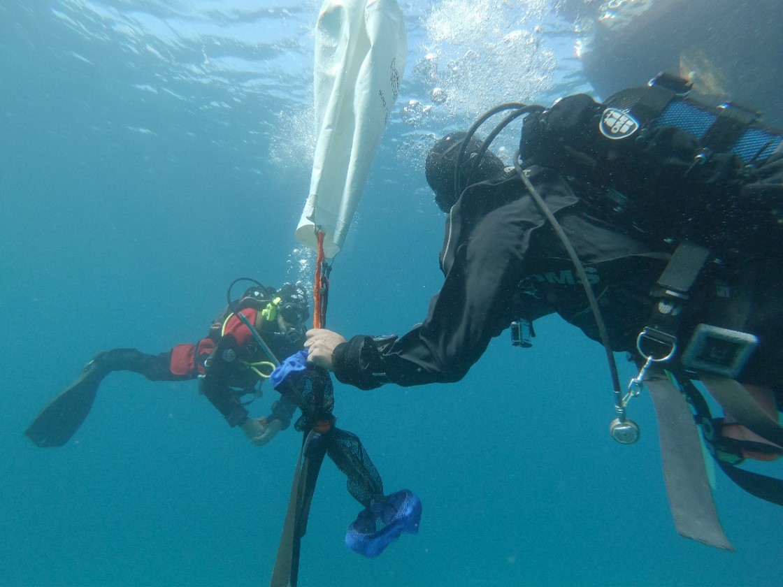
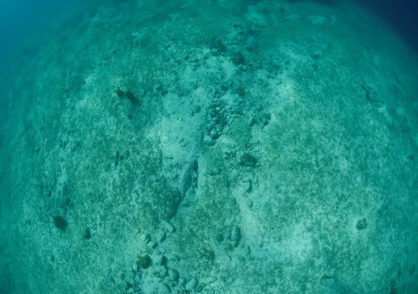
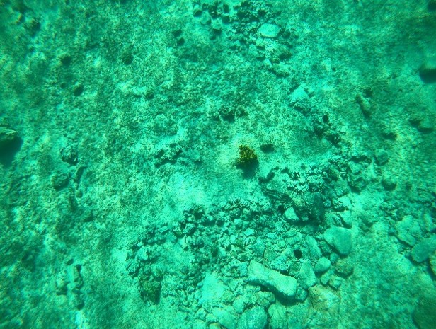
The first exploratory underwater survey of the area in front of AP looking for submerged features and finds 40 years after the first 1981 underwater fieldwork. It was agreed that all the divers should start exploring and photographing the underwater area where the submerged section of the Neolithic settlement is believed to be. The aim was to have a complete picture of the sea bottom and its geological and archaeological remains.
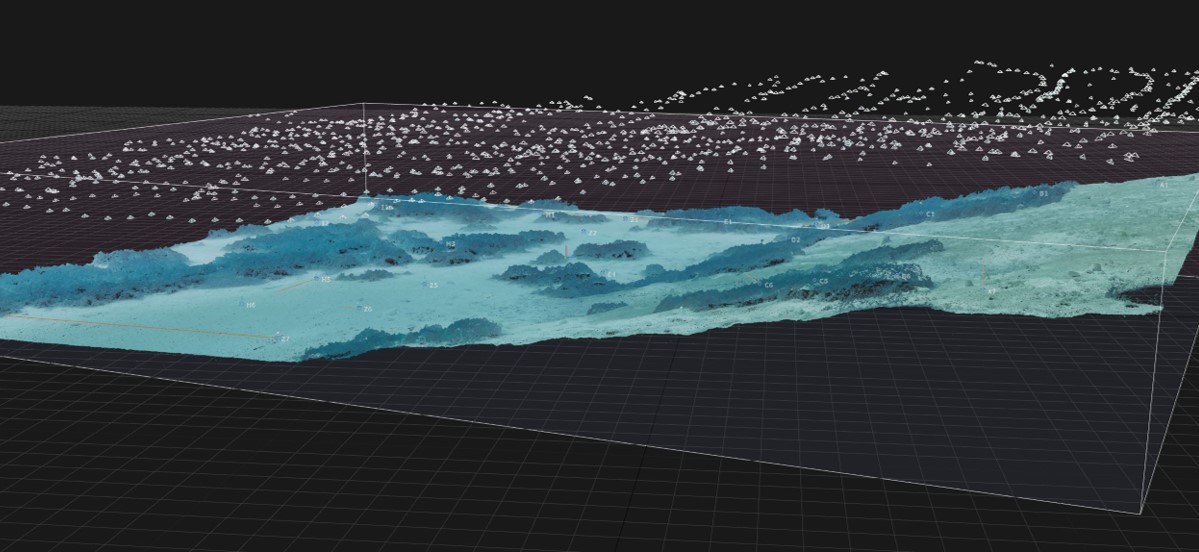
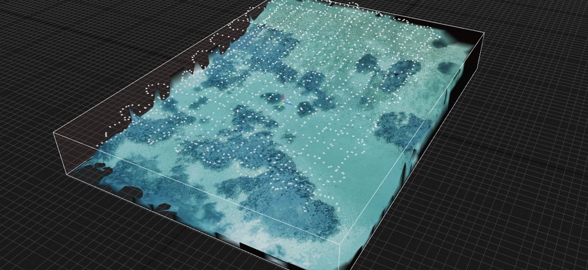
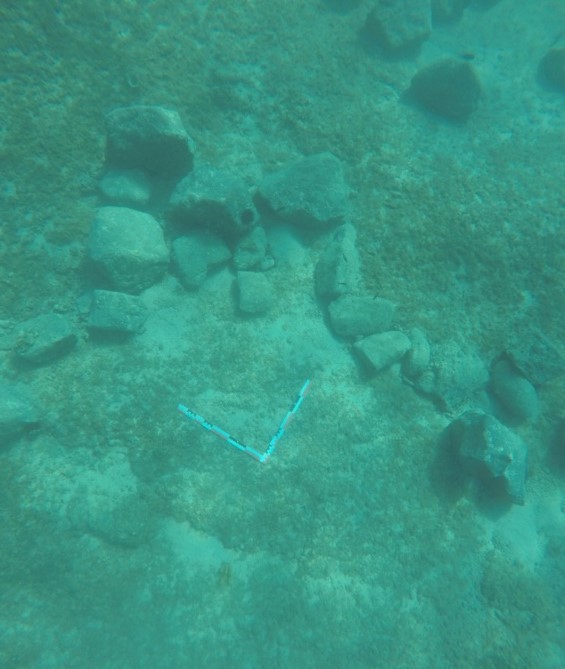
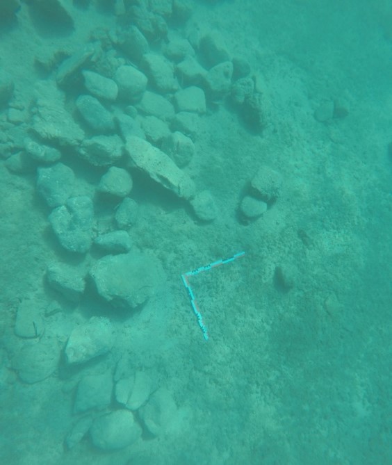
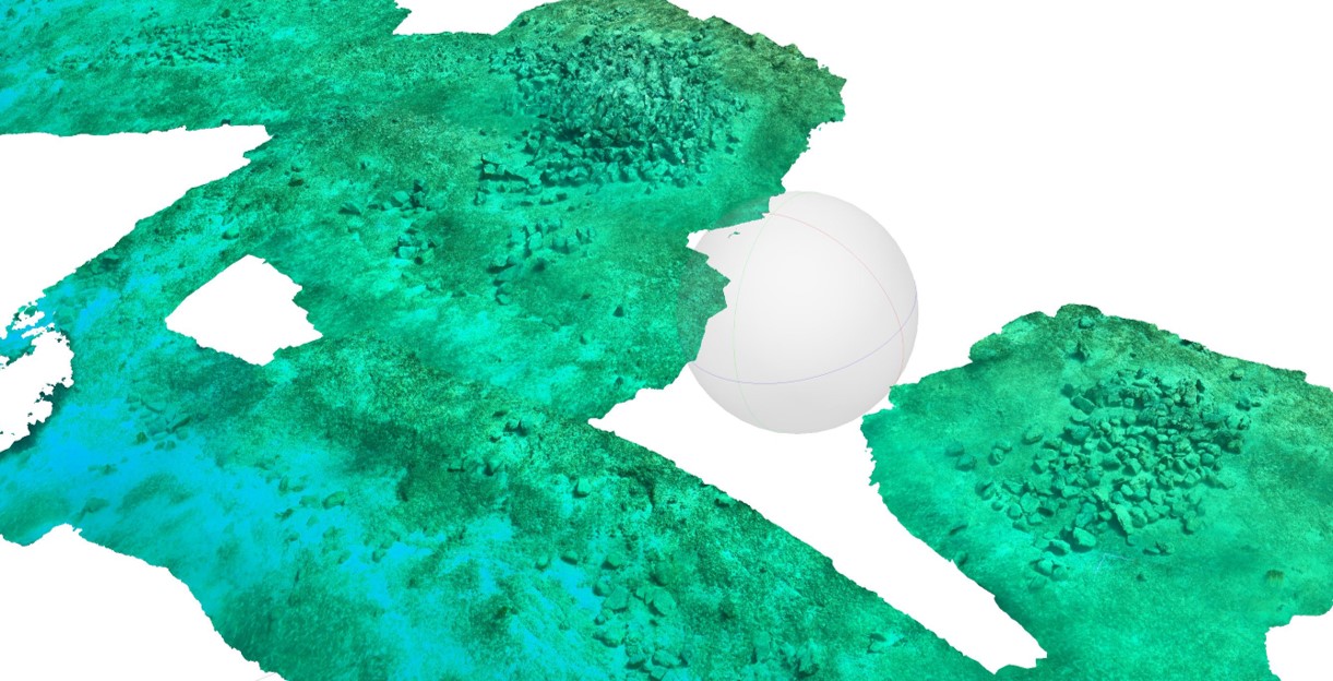
The underwater grid
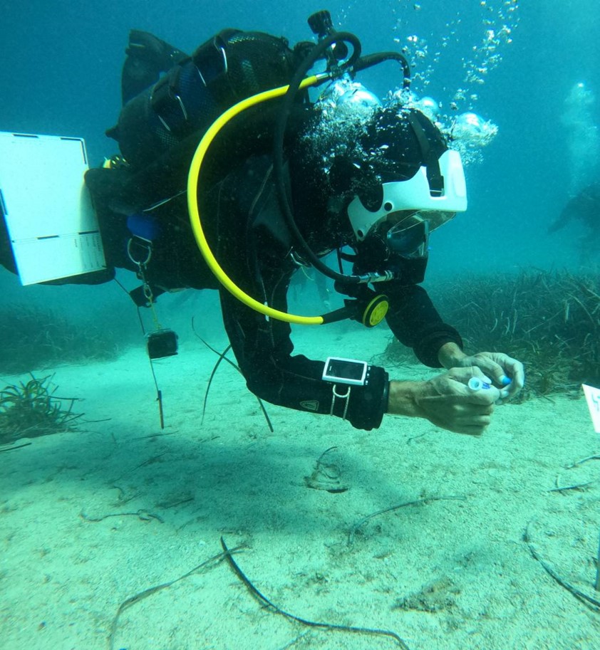
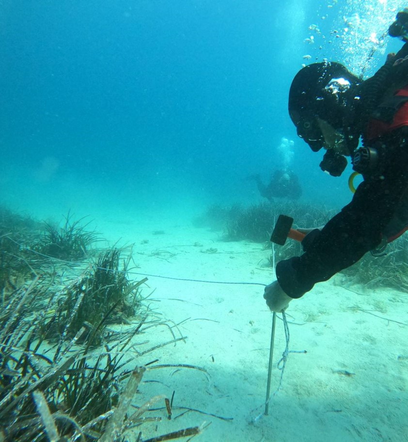
The team of topographers working on the underwater grid which they had agreed to set. The purpose of this was to create an accurate plan where all the finds could be marked and recorded; it is always important to know exactly where you find what. The size of the grid was 30m wide (along the beach of AP) by 40m long (into the sea). This was not an easy task because of the considerable size of the grid, the depths involved, but mainly because of the abnormalities detected in the rocky bottom.
GALLERY
Topographers-divers working on the grid
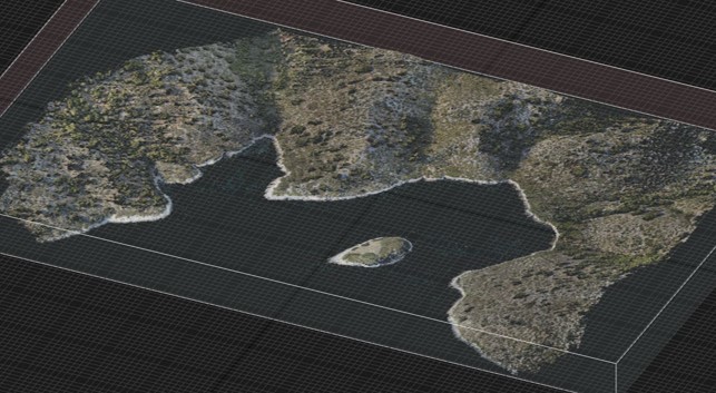
A 3D model of the new underwater grid in the sloping area in front of the islet of Agios Petros
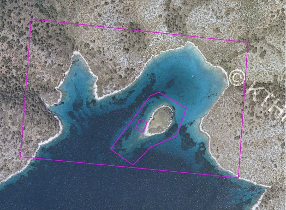
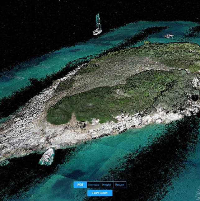
the drone images
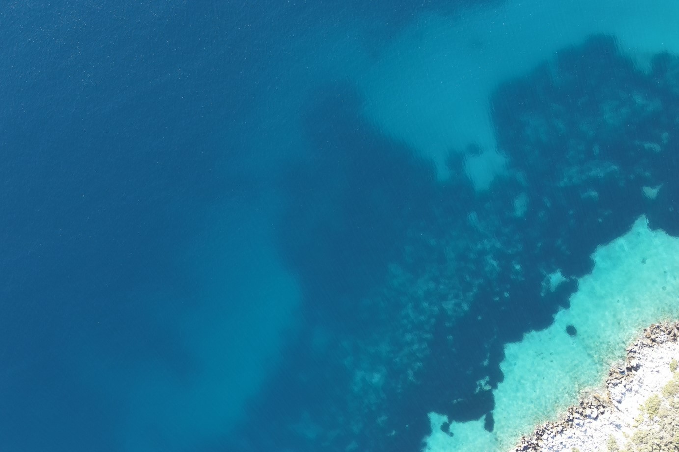
Taking advantage of modern reconnaissance methods was a big plus of the Agios Petros fieldwork. This was carried out by the topographers and had excellent results with high-resolution images (hundreds of video and photographs) produced that help detect from the air many submerged features which could not have spotted otherwise. Moreover, it facilitated the making of a 3D model of the island of AP.
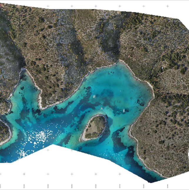
Three topographic plans were made of the whole area around A. Petros and its bays; including geological and archaeological features of interest was a crucial part of this season’s work.
GALLERY
The Drone Images
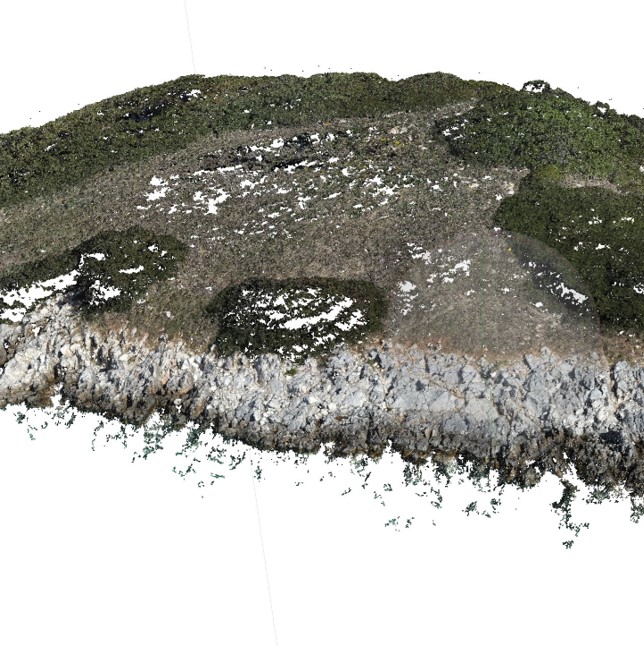
3D models of the bay of Agios Petros and Kyra Panagia using drone technology
Coring at Agios Petros
The search for underwater archaeological deposits was from the start one of the main tasks of the project. The following research questions were taken into consideration:
– Is there a stratigraphy of the underwater deposit that had survived for 8.000 years?
– Were there undisturbed archaeological strata which could be excavated?
– How deep these strata might be?
The only way to find out was to take cores deep under the sandy bottom, which could hopefully bring up buried sediments.
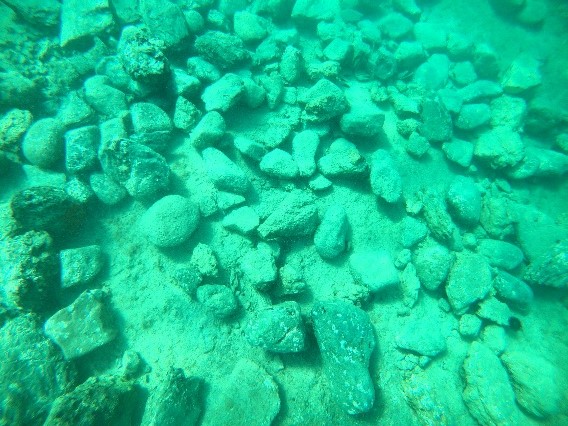
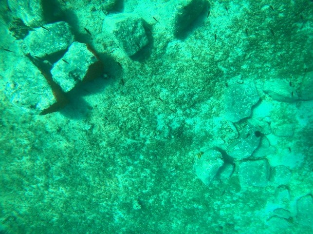
The submerged structural remains of the settlement of Agios Petros
By far among the most exciting findings of this season was the detection for the first time (these had not been detected in 1981) of underwater structures (houses?) and architectural features (sea walls). The stone plans recorded and photographed cannot not be considered natural and therefore are anthropogenic in origin and expected to be part of the Neolithic settlement although this has to be confirmed.
GALLERY
Underwater Structures
The submerged settlement of Agios Petros
Depending on the depth they were found, the structures and associated archaeological deposits may belong to different cultural periods and possibly date to well before 6.000 BC (Mesolithic). This could be extremely welcoming news for Greek prehistory, pending of course on supporting chronological evidence (absolute dates). The discovery of these new remains were found in a different location from the finds recorded in 1981. It could mean that the settlement was much bigger in size extending perhaps into the most well protected area of the bay and much closer to fresh-water springs reported by Nic Flemming in his published study of 1983 (pers. com 23.10.21). He has since commented that, “these discoveries are astonishing”.
Submerged structures at Agios Petros
Maritime parts of structures of undiagnostic date (a sea wall?) or installations (mooring spots)?